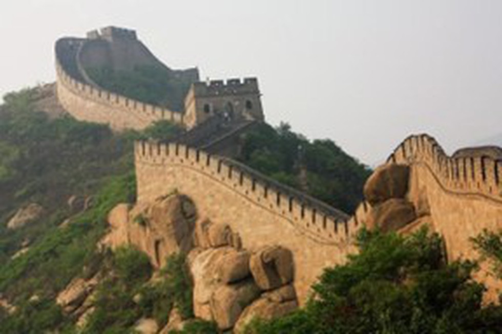
About the Ming Dynasty:
- The Ming Dynasty ruled China from A.D. 1368 to 1644.
- Known for its trade expansion to the outside world that established cultural ties with the West, the Ming Dynasty is also remembered for its drama, literature, and world-renowned porcelain.
- The Ming dynasty, which succeeded the Yuan (Mongol) dynasty (1206–1368), was founded by a commoner, Zhu Yuanzhang (1328–1398), who established Nanjing as his capital.
- However, nearly fifty years later, the third Ming emperor relocated the capital to Beijing, which has remained China’s main seat of government ever since.
- Governmental Structure:
- The basic governmental structure established by the Ming was continued by the subsequent Qing (Manchu) dynasty and lasted until the imperial institution was abolished in 1911/12.
- The civil service system was perfected during the Ming and then became stratified; almost all the top Ming officials entered the bureaucracy by passing a government examination.
- Affairs in each province were handled by three agencies, each reporting to separate bureaus in the central government.
- The position of prime minister was abolished. Instead, the emperor took over personal control of the government, ruling with the assistance of the especially appointed Neige, or Grand Secretariat.
- Achievements:
- The period witnessed unprecedented economic and cultural expansion and the near doubling of China’s population.
- Notable Ming achievements include the refurbishment of the Great Wall to its greatest glory, large naval expeditions, vibrant maritime trade, and the rise of a heavily monetized economy.
- Vital cultural achievements included the production of exceptional—and often colorful—porcelains, paintings, lacquers, and textiles.
- The Ming Dynasty saw a publishing boom in China, with an avalanche of affordable books being produced for commoners.
- Collapse:
- The last century of the Ming, however, was besieged by border troubles, crop failure, fiscal instability, and court corruption, leading to an overthrow by Manchu invaders from the north, who took Beijing in 1644.
- The Ming were succeeded by the Qing (Manchu) dynasty (1644-1911).
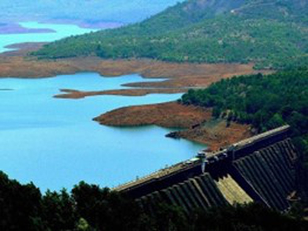
About Koyna Dam:
- Location: It is one of the largest dams in the state of Maharashtra and is located at Koyna Nagar in Satara district.
- It is a rubble-concrete dam constructed on the Koyna River.
- The construction of this dam was completed in 1963 and is among the chief civil engineering projects built after the independence of India.
- The main purpose of dam is hydroelectricity, with some irrigation in neighbouring areas.
- Koyna Hydroelectric Project is the largest completed hydroelectric power plant in India, with a total installed capacity of 1,920 MW.
- The catchment area of the Koyna Dam blocks up the Koyna River and creates the Shivsagar Lake, which is roughly 50 km long.
- The dam plays a vital role in flood control during monsoon season.
Key Facts about the Koyna River:
- It is a tributary of the Krishna River in the western part of Maharashtra.
- Origin: It rises near Mahabaleshwar, a famous hill station in the Western Ghats.
- The river is just 100 metres wide and flows slowly.
- Unlike most of the other rivers in Maharashtra, which flow East-West direction, the Koyna River flows in North-South direction.
- The river merges with the Krishna River at Karad in the Satara districtof Maharashtra.
- Due to its electricity-generating potential through the Koyna Hydroelectric Project, Koyna River is known as the Life Line of Maharashtra.

About Neanderthals:
- They are the closest known human relatives and interbred with Homo sapiens.
- Species: Homo neanderthalensis
- They lived throughout Europe and parts of Asia from about 400,000 until about 40,000 years ago.
- Current evidence from both fossils and DNA suggests that Neanderthal and modern human lineages separated at least 500,000 years ago.
- Neanderthals co-existed with modern humans for long periods of time before eventually becoming extinct.
- Although they are long extinct, their genes are still present in modern human DNA.
- Features:
- Some defining features of their skulls include the large middle part of the face, angled cheek bones, and a huge nose for humidifying and warming cold, dry air.
- Their bodies were shorter and stockier than modern humans, another adaptation to living in cold environments.
- But their brains were just as large as modern humans and often larger - proportional to their brawnier bodies.
- Their bones reveal that they were extremely muscular and strong, but led hard lives, suffering frequent injuries.
- Neanderthals made and used a diverse set of sophisticated tools, controlled fire, lived in shelters, made and wore clothing, were skilled hunters of large animals and also ate plant foods, and occasionally made symbolic or ornamental objects.
- There is evidence that Neanderthals deliberately buried their dead and occasionally even marked their graves with offerings, such as flowers.
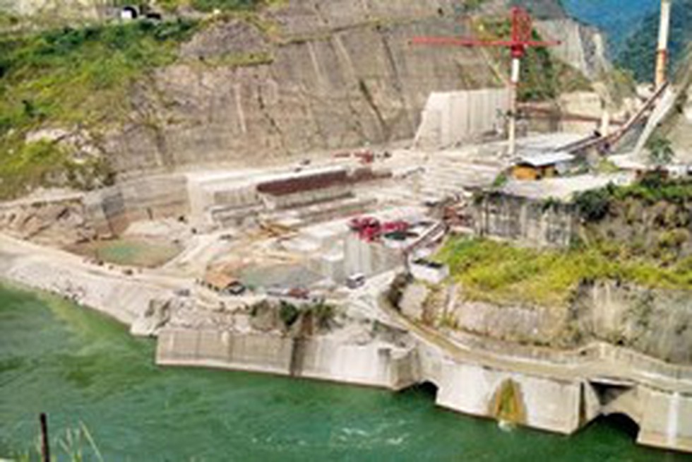
About the Lower Subansiri Hydroelectric Power Project:
- It is the biggest hydroelectric project undertaken in India so far.
- It is a run-of-river scheme on the river Subansiri.
- Location: The Project is located near North Lakhimpur on the border of Arunachal Pradesh and Assam.
- Capacity: 2000MW
- It will generate up to 7.4 billion kWh of electricity annually.
- The project includes the construction of a surface powerhouse and a concrete gravity dam that is 116m-high from the river bed level.
- The length of the dam will be 284m.
- The dam is located in the Dhemaji district of Assam, while the powerhouse is located in the Subansiri district of Arunachal Pradesh.
- It is being developed by the state-run National Hydro Power Corporation (NHPC).
- Funding:
- The project cost was met through 70% equity and 30% debt financing through the provision of a term loan.
- The central government is providing budgetary support as part of the equity component.
Key facts about the Subansiri River:
- Subansiri River, better known as the "Gold River,r" is the largest tributary of the Brahmaputra River.
- It flows through Assam, Arunachal Pradesh, and the Tibet Autonomous Region of China.
- Course:
- Originating from the Himalaya Mountains, it flows towards the east and south-east portions of Arunachal Pradesh and then flows to Assam Valley.
- Finally, it joins the Brahmaputra River in Lakhimpur district, Assam.
- It joins the Brahmaputra at the mystic confluence of Majuli Island, which is noted as the largest inhabited river island in the world.
- Total Length: 442 kilometres

About NASA-ISRO Synthetic Aperture Radar (NISAR):
- NISAR is a Low Earth Orbit (LEO) observatory jointly developed by NASA and ISRO.
- It is an SUV-size satellite weighing 2,800 kilograms.
- It consists of both L-band and S-band synthetic aperture radar (SAR) instruments, which makes it a dual-frequency imaging radar satellite.
- NISAR will be the first satellite mission to use two different radar frequencies (L-band and S-band) to measure changes in our planet's surface.
- SAR is capable of penetrating clouds and can collect data day and night regardless of the weather conditions.
- NASA has provided the L-band radar, GPS, a high-capacity solid-state recorder to store data, and a payload data subsystem. ISRO has provided the S-band radar, the GSLV launch system, and spacecraft.
- It also consists of a large 39-foot stationary antenna reflector made of a gold-plated wire mesh which will be used to focus “the radar signals emitted and received by the upward-facing feed on the instrument structure.
- Mission Objectives:
- It will measure Earth’s changing ecosystems, dynamic surfaces, and ice masses, providing information about biomass, natural hazards, sea level rise, and groundwater.
- NISAR will observe Earth’s land and ice-covered surfaces globally with 12-day regularity on ascending and descending passes.
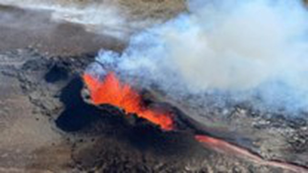
About Earthquake swarm
- It is a series of many (sometimes thousands) low-intensity earthquakes without a discernible main shock that can occur over weeks in active geothermal areas.
- When seismic energy piles up inside the Earth and is released in small amounts from certain points, a series of earthquakes can occur.
What causes swarm sequences?
- Fluid movement:
- In volcanic environments, this can be fluid released from deeper magma or circulating within active geothermal areas (in volcanic areas such as the Taupō Volcanic Zone).
- The earthquakes triggered by fluids occur as fault slip on the cracks and faults through which the water is moving.
- Active volcanism:
- Magma movement can also act as the ‘driving mechanism’ for swarms, creating earthquakess as magma-filled cracks push their way through the Earth’s crust.
- In such a case, earthquakes commonly occur near the crack tip (ahead of the magma where the crack is starting to open) or off to the side of the crack.
- Slow-slip events
- A slow-slip event is essentially an earthquake in slow-motion, and typically involves centimetres to tens of centimetres of movement along a fault, over weeks to years.
- We commonly see slow slip events at the Hikurangi subduction zone, usually at least one or two per year.
Key facts about Reykjanes peninsula
- It is a peninsula in South West Iceland, characterized by immense lava fields, volcanoes, and heightened geothermal activity.
- It runs along the Mid-Atlantic Rift, where the Eurasian and the North American tectonic plates are drifting apart.
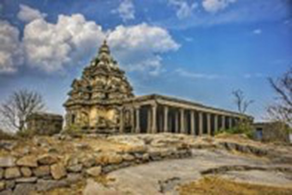
About Talagirishwara Temple:
- It is located in Panamalai village of Viluppuram district in Tamil Nadu, India.
- The temple is constructed on an insignificant, small hill overlooking the Panamalai Lake.
- The temple was constructed by Pallava king Narasimhavarman II, popularly known as Rajasimha.
- Features
- This Seventh Century structure incorporates a Vimana that resembles that of Kailasanatha temple in Kanchipuram.
- The garbhagriha stocks a Dharalingam, and as in Pallava temples of that period, there is a Somaskanda section on hindmost wall of the shrine.
- It includes an Ardhamandapam (partial Mandapam).
- The walls of the Ardhamandapam post panels of divinities, including Brahma with Saraswati and Vishnu with Lakshmi on either flank.
- The temple faces east and the garbhagriha is enclosed on all three sides by sub shrines Some more sub shrines and a Mahamandapam (a massive Mandapam) have been added in the later period to the structure.
- The Vimana is 3 layered and the high tier has also been rebuilt.
- The typical Pallava mark, pillars with crouching lions, is also found.
- Paintings in the temple
- The paintings in this temple bear a close resemblance to the paintings in Ajantha and Chithannavasal.
- The paintings are on the wall of a sub-temple on the northern side of the Talagirishwara (Siva) temple.
- There is a painting of Lord Shiva with eight hands dancing known as Latathilagabhani, being watched by Goddess Parvathi with her crown and well decorated umbrella.
- These paintings were older than Chithannavasal paintings.
- These paintings were created after covering the stonewalls with paste made of limestone and sand.

About Ejecta Halo:
- The Vikram lander of the Chandrayaan-3 mission landed near the south pole of the moon.
- During the action of descent stage thrusters and the consequent landing, a significant amount of lunar surficial epi regolith material got ejected, resulting in a reflectance anomaly or ejecta halo”,
- Scientists from Indian Space Research Organisation estimate that about 2.06 tonnes of lunar epi regolith were ejected and displaced over an area of 108.4 m² around the landing site
- Ejecta halo is an irregular, bright patch surrounding the lander.
- Significance:
- This discovery sheds light on the behaviour of lunar materials during such events.
- It opens up new avenues for research and understanding lunar geology.
What is Regolith?
- It is a blanket of unconsolidated, loose, heterogeneous superficial deposits covering solid rock.
- Epiregolith is lunar rocks and soil, or regolith, or Moon dust.
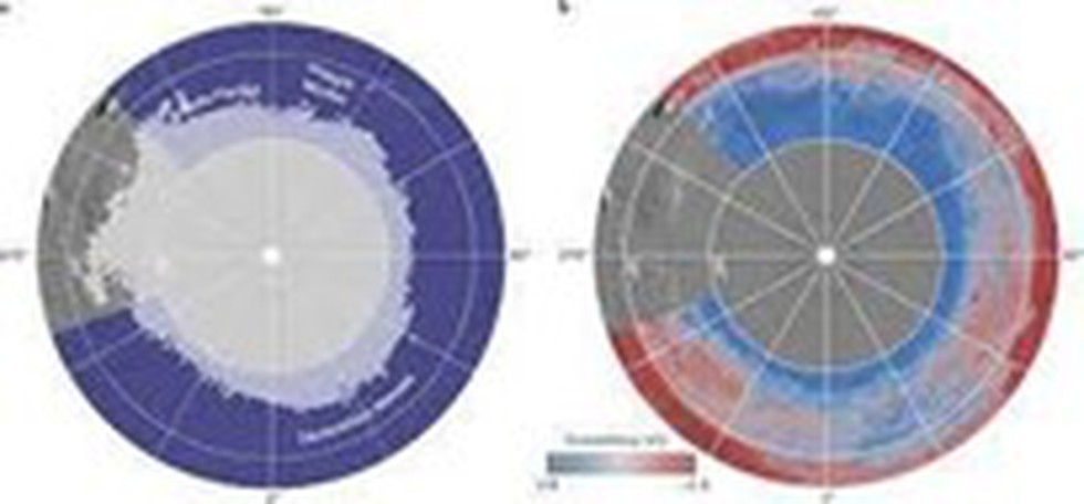
About the Subsurface Water Ice Mapping (SWIM) project:
- It aims to locate the best places to access water ice buried under the Martian surface.
- The recently released fourth set of maps is the most detailed and accurate since the project started in 2017.
- It is led by the Planetary Science Institute in Tucson, Arizona, and managed by NASA’s Jet Propulsion Laboratory in Southern California.
- The project uses data from several NASA missions, such as the Mars Reconnaissance Orbiter (MRO), the 2001 Mars Odyssey, and the defunct Mars Global Surveyor.
- SWIM used two higher-resolution cameras on MRO.
- The Context Camera data was used to improve the maps of the Northern Hemisphere.
- For the first time, the HiRISE (High-Resolution Imaging Science Experiment) data was used to provide the most detailed view of the ice’s edge as close to the equator as possible.
- The first phase of the SWIM project, completed in 2019, focused on the northern hemisphere. The second phase, completed in 2020, includes the southern hemisphere.
- Highlights of the new map
- The new map includes sightings of so-called “polygon terrain,” where the seasonal expansion and contraction of subsurface ice causes the ground to form polygonal cracks, indicating more ice hidden beneath the surface.

About Cardamom Cultivation:
- It is popularly known as Queen of Spices and belongs to the Zingiberaceae family.
- It is native to the evergreen, rainy forests of Western Ghats in South India.
- It is cultivated mainly in the Southern states, viz., Kerala, Karnataka, and Tamil Nadu.
- Soil and climate
- Soil: It is grown in forest loamy soils, which are usually acidic in nature with a pH range of 5.0–6.5.
- This crop can be grown at an elevation from 600 to 1500 m.
- Temperature: 10 to 35 degree C
- Rainfall: 1500 to 4000 mm
- The growth of cardamom is enhanced when planted in humus rich soils with low to medium available phosphorous and medium to high available potassium.
- It is used as a flavouring agent and drug in traditional medicine.


.png)

.png)


.png)
.png)
.png)
.png)
.png)


.png)
.png)
.png)


.png)
.png)
.png)
.png)
.png)
.png)
.png)
.png)
.png)

.png)


.png)
.png)


.png)
.png)
.png)


.png)

.png)
.png)


.jpg)

.png)
.png)


.png)

.png)
.png)
.png)

.jpg)

.jpg)


.png)

.png)
.png)
.png)
.png)
.png)
.png)
.png)
.png)
.png)
.png)


.png)

.png)


.png)
.png)
.png)
.png)
.png)
.png)
.png)
.png)
.png)
.png)
.jpg)
.jpg)

.png)
.png)
.png)
.png)
.png)
.png)
.png)
.png)
.png)
.png)
.png)
.png)
.png)
.png)
.png)
.png)
.png)
.png)
.png)
.png)
.png)
.png)


.png)
.png)

.jpg)
.jpg)


.jpg)
.jpg)
.jpg)
.jpg)
.jpg)

.jpg)


.jpg)
.jpg)
.jpg)
.jpg)
.jpg)


.jpg)
.jpg)


.jpg)


.jpg)
.jpg)


.jpg)
.jpg)


.jpg)

.jpg)


.jpg)


.jpg)


.jpg)


.jpg)


.jpg)


.jpg)


.jpg)
.jpg)
.jpg)


.jpg)

.jpg)
.jpg)


.jpg)


.jpg)
.jpg)


.jpg)


.jpg)


.jpg)


.jpg)
.jpg)
.jpg)

.jpg)
.jpg)
.jpg)
.jpg)

.jpg)
.jpg)
.jpg)

.jpg)
.jpg)
.jpg)
.jpg)
.jpg)
.jpg)
.jpg)
.jpg)

.jpg)


.jpg)
.jpg)
.jpg)
.jpg)
.jpg)
.jpg)
.jpg)
.jpg)
.jpg)
.jpg)


.jpg)
.jpg)


.jpg)
.jpg)
.jpg)


.jpg)


.jpg)


.jpg)
.jpg)


.jpg)
.jpg)


.jpg)
.jpg)
.jpg)
.jpg)
.jpg)

.jpg)
.jpg)
.jpg)
.jpg)
.jpg)


.jpg)
.jpg)
.jpg)
.jpg)
.jpg)

.jpg)
.jpg)
.jpg)
.jpg)
.jpg)
.jpg)
.jpg)
.jpg)
.jpg)
.jpg)
.png)

.png)
.png)

.png)
.png)
.png)
.png)


.jpg)
.jpg)

.jpg)
.jpg)
.jpg)

.png)
.png)
.png)
.png)
.png)
.png)
.png)

.png)
.png)
.png)
.png)
.png)
.png)
.png)
.png)
.png)
.png)


-min.png)


.png)


.png)


