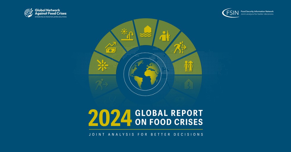
About Global Report on Food Crises (GRFC) 2024:
- It is released annually by the Food Security Information Network(FSIN) and launched by the Global Network Against Food Crises, a multistakeholder initiative that includes United Nations agencies, the European Union, the United States Agency for International Development and non-governmental agencies working to tackle food crises.
- Highlights of GRFC 2024:
- It analyzed a population of 1.3 billion in 2023 across 59 countries. Nearly 282 million people faced high levels of acute food insecurity.
- 2023 was the fifth consecutive year of rise in the number of people suffering acute food insecurity, defined as when populations face food deprivation that threatens lives or livelihoods, regardless of the causes or length of time.
- It identifies conflicts, extreme weather events and economic shocks as the three main drivers behind the exacerbation of food crises in the world.
- With food crisis escalating alarmingly in conflict hotspots in 2023, notably Palestine (Gaza Strip) and Sudan, conflict / insecurity became the primary driver in 20 countries, directly affecting 135 million people.
- The Gaza Strip became the area with the most severe food crisis in the last eight years of GRFC reporting.
- Sudan is facing one of the worst food crises in the world, with almost a third of the population in need of emergency food aid.
- Meanwhile, weather extremes were the main driver for 18 countries, with over 72 million people facing high levels of acute food insecurity because of such extreme weather events.
- The 10 countries with the world’s largest food crisis in 2023 were the Democratic Republic of the Congo, Nigeria, Sudan, Afghanistan, Ethiopia, Yemen, the Syrian Arab Republic, Bangladesh, Pakistan and Myanmar.
- On a positive note, the situation improved in 17 countries in 2023, including the Democratic Republic of Congo and Ukraine.
2. Key Facts about Ross Ice Shelf
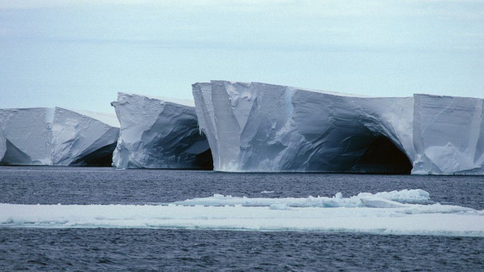
About Ross Ice Shelf:
- It is the largest ice shelf of Antarctica. It is situated in the Ross Sea, extending off the continent’s coast into the ocean.
- It is the world’s largest floating body of ice, covering approximately 487,000 square kilometres, about the size of France.
- Only ten percent of the ice shelf is visible, with the majority hidden in several hundred metres of ice below the surface.
- Its thickness varies significantly, ranging from about 100 meters to several hundred meters. The thickest parts are generally found where the shelf anchors against the continent.
- Formation:
- It is formed by the accumulation and compaction of snow, which, over time, turns into ice.
- It is being fed a constant flow of ice from glaciers draining from both the East and West Antarctic Ice Sheets.
- As new ice is added, existing ice is being removed through melting at the base and ice calving at the front.
- It plays an important role in stabilising the Antarctic ice sheet, buttressing the ice that is constantly moving over the land surface.
Key Facts about Ross Sea:
- It is a giant bay just 320 kms from the South Pole. The sea is remote and positioned south and slightly east of New Zealand. It is the largest polar marine ecosystem in the world. It is relatively shallow.
- It is strongly influenced by the coastal East-Wind Drift that sets up a vast clockwise gyre accompanied by deepwater upwelling.
- It is the first protected area in Antarctica and home to most of the world’s penguins and many species of whale. Numerous scientific research stations are located along its coasts.
3. Key Facts about Atacama Desert
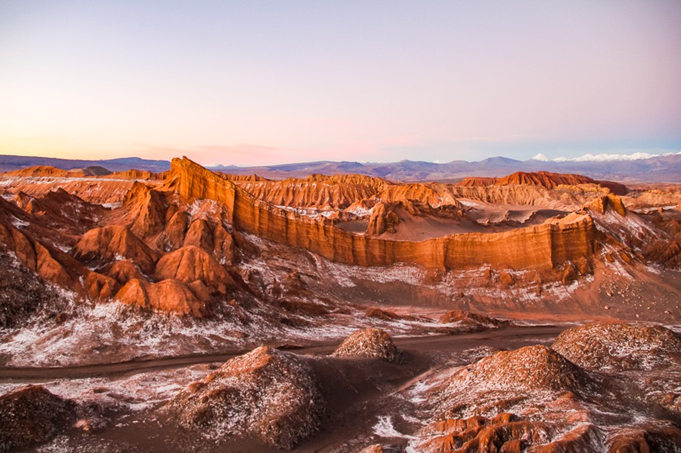
About Atacama Desert:
- It is located in northern Chile, nestled between the Andes Mountains on the east and the Pacific Ocean on the west. It is the driest desert in the world.
- It forms a continuous strip for nearly 1,000 km along the narrow coast of the northern third of Chile. Argentina, Peru and Bolivia border the Atacama Desert.
- It shows a unique combination of environmental extremes (extreme dryness, the highest UV radiation levels on Earth and highly saline and oxidizing soils). It also hosts 12 volcanoes, mainly located in the western outliers of the Andes.
- Previously part of the Pacific Ocean seabed, the Atacama Desert landscape consists of caked salt deposits called playas, which stretch for miles and can be up to 1.6 feet thick in some places.
- Climate:
- Average rainfall in this region is about 1 mm per year. Some locations within the desert have never had any rainfall whatsoever.
- This is due to its location between the Andes, which blocks the humid air from the Amazons, and the Coastal Mountain range.
- To the west, the upwelling of cold water from deep in the Pacific Ocean promotes atmospheric conditions that hamper the evaporation of seawater and prevent the formation of clouds and rain.
- Temperatures are comparatively mild throughout the year. The average temperature in the desert is about 63 degrees F (18 degrees C).
- It has the largest natural supply of Sodium Nitrate, which can be used for producing fertilizers and explosives, amongst other things.
- Soil samples from this region are very similar to samples from Mars; for this reason, NASA uses this desert for testing instruments for missions to the red planet.
- Chinchorro Mummies: The oldest artificially mummified human remains have been found in the Atacama Desert.
- It is one of the few locations on the globe with 300+ days of clear skies in a year, along with no light pollution.
4. Kalesar Wildlife Sanctuary
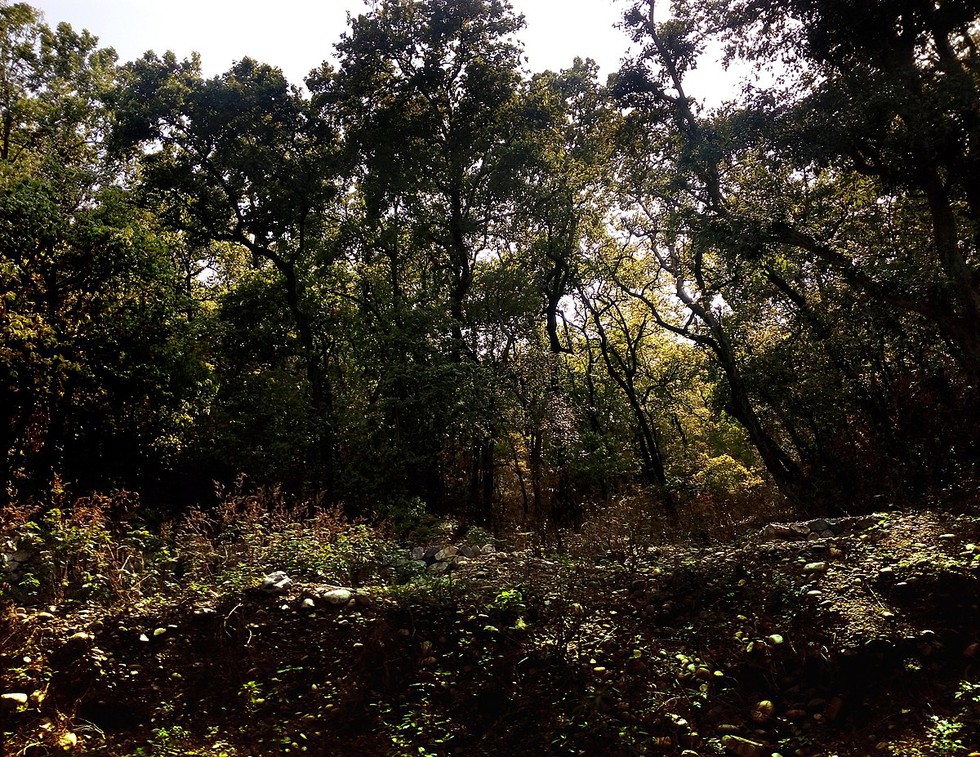
About Kalesar Wildlife Sanctuary:
- It is situated in the Shivalik foothills of the Himalayas in Haryana. The Yamuna River runs to its east. It derives its name from the Kalesar Forest, which is a part of the reserve.
- Topography:
- It varies from plains to hills, interspersed with narrow valleys locally called ‘khols’ between the hills.
- These valleys house seasonal rivulets locally called ‘soats’ which remain dry for most of the year.
- The sanctuary houses the Kalesar Fort, which is believed to have been built during the reign of the Mughal emperor Aurangzeb. It is also famous for its Dak bungalows, the administrative architectural bungalows built in colonial times.
- Flora: Mainly, the forest has trees like sal, khair, shisam, tun, sain and amla.
- Fauna:
- It is home to many species of animals, including leopards, sambar deer, barking deer, hyenas, jackals, Indian porcupines, Indian pangolins and langurs.
- It is also home to several species of birds, such as the red junglefowl, grey partridge, Indian peafowl and white-throated kingfisher.
5. Tiger Conservation Coalition
About Tiger Conservation Coalition:
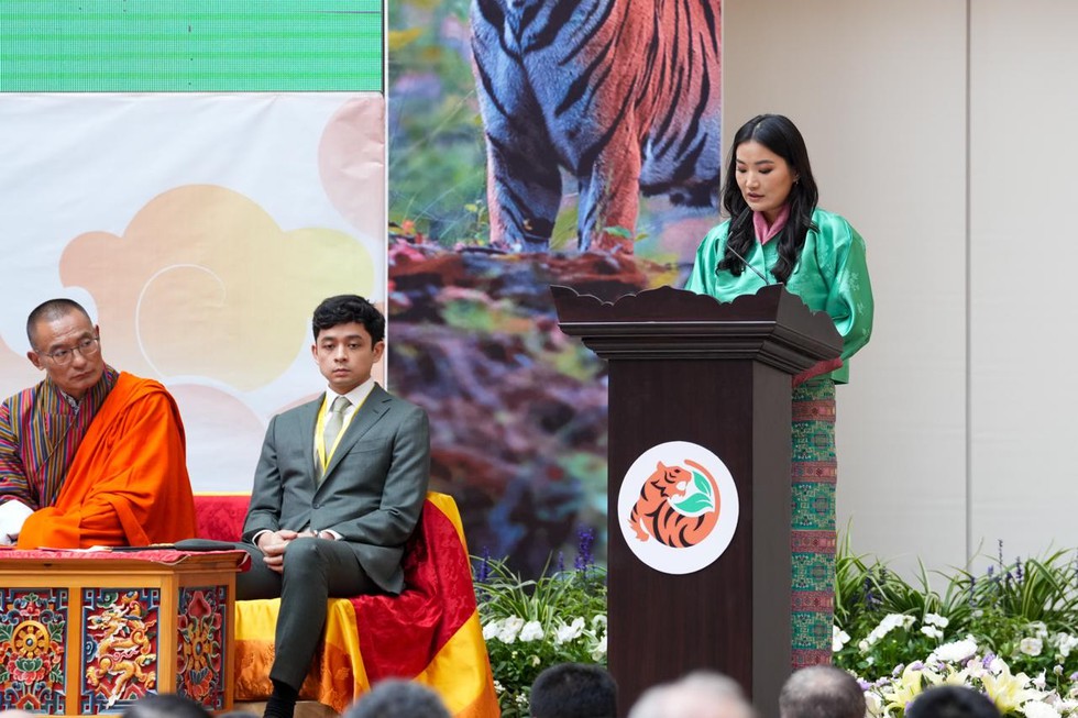
- It is a group of NGOs that has worked for many years with partners to conserve tigers. Its vision is for a long-term presence of viable and ecologically functional populations of wild tigers secure in protected habitats, with representation and links across their indigenous range.
- It brings together leading tiger biologists and experts in wildlife crime, human-wildlife coexistence, policy, finance, development and communications with unprecedented alignment on achieving tiger conservation at scale.
- The eight non-governmental organisations (NGOs) includes the Environmental Investigation Agency (EIA), Fauna & Flora, the International Union for Conservation of Nature and Natural Resources (IUCN), Panthera, TRAFFIC, United Nations Development Programme (UNDP), Wildlife Conservation Society (WCS) and World Wide Fund for Nature (WWF).
- The members co-developed Tiger Conservation Landscapes 3.0, an integrated habitat modelling system to measure and monitor changes in tiger habitat at range-wide, national, biome and landscape scales in near real-time.
- This work serves as a model for objective, range-wide, habitat monitoring as countries work to achieve the goals laid out in the 30x30 agenda, the Sustainable Development Goals, and the Kunming-Montreal Global Biodiversity Framework.
6. Coalition for Disaster Resilient Infrastructure (CDRI)
About Coalition for Disaster Resilient Infrastructure:
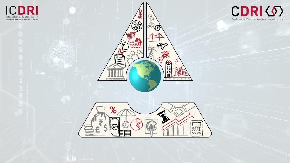
- It is a multi-stakeholder global partnership of national governments, UN agencies and programmes, multilateral development banks and financing mechanisms, the private sector and academic and knowledge institutions.
- It addresses the challenges of building resilience into infrastructure systems and development associated with it.
- It was launched during the United Nations Climate Action Summit in 2019, at New York.
- Objective:
- It aims to promote the resilience of infrastructure systems to climate and disaster risks, thereby ensuring sustainable development.
- It seeks to rapidly expand the development and retrofit of resilient infrastructure to respond to the Sustainable Development Goals imperatives of expanding universal access to basic services, enabling prosperity and decent work.
- It functions as inclusive multi-stakeholder platform led and managed by national governments, where knowledge is generated and exchanged on different aspects of disaster resilience of infrastructure.
- It brings together a multitude of stakeholders to create a mechanism to assist countries to upgrade their capacities, systems, standards, regulations and practices with regard to infrastructure development in accordance with their risk context and economic needs.
- Members: Since its launch, 39 Countries, 7 International Organizations and 2 private sector organizations have joined as members of CDRI.
- International Organisations are: Asian Development Bank (ADB), World Bank Group, United Nations Development Programme (UNDP), United Nations Office for Disaster Risk Reduction (UNDRR), European Union, European Investment Bank, The Private Sector alliance for Disaster Resilient Societies (ARISE).
- Secretariat: New Delhi, India
7. What is Article 244(A)?
About Article 244(A):
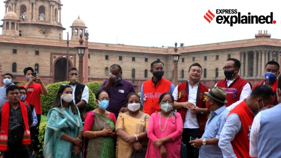
- It allows for creation of an ‘autonomous state’ within Assam in certain tribal areas. This region could include certain tribal areas like Karbi Anglong.
- This provision was inserted by the Constitution (Twenty-second Amendment) Act, 1969.
- Such autonomous state created would have its own Legislature or Council of Ministers or both. It accounts for more autonomous powers to tribal areas, among these the most important power is the control over law and order.
- In Autonomous Councils under the Sixth Schedule, they do not have jurisdiction of law and order.
History:
- In the 1950s, a demand for a separate hill state arose around certain sections of the tribal population of undivided Assam. After prolonged agitations, Meghalaya gained statehood in 1972.
- In the 1980s, this demand took the form of a movement with a number of Karbi groups resorting to violence. It soon became an armed separatist insurgency demanding full statehood.
- The leaders of the Karbi Anglong and North Cachar Hills were also part of this movement. They were given the option to stay in Assam or join Meghalaya. They stayed back as the then central government promised more powers, including Article 244 (A).
8. Spices Board India
About Spices Board India:
- It is the statutory organization constituted under the Spices Board Act 1986. It was formed with the merger of the erstwhile Cardamom Board and Spices Export Promotion Council.
- It functions as an international link between the Indian exporters and the importers abroad and it has been involved in various activities which touch upon every segment of the spices sector.
- Main functions:
- It is responsible for the overall development of cardamom (small and large) in terms of improving production, productivity and quality.
- It is also implementing post-harvest improvement programmes for improving quality of the 52 scheduled spices for export. The various development programmes and post-harvest quality improvement programmes of the Board are included under the head ‘Export Oriented Production’.
- Promotion of organic production, processing and certification of spices
- Nodal Ministry: Ministry of Commerce & Industry, Government of India.
9. Khanij Bidesh India Limited (KABIL)
About Khanij Bidesh India Limited (KABIL):
- It is a Joint Venture Company formed with the participation of National Aluminium Company Ltd. (NALCO), Hindustan Copper Ltd. (HCL) and Mineral Exploration Company Ltd. (MECL) in August, 2019. The equity participation between NALCO, HCL and MECL is in the ratio of 40:30:30.
- It is mandated to identify, acquire, develop, process and make commercial use of strategic minerals in overseas locations for supply in India. It is focusing on identifying and sourcing battery minerals like Lithium and Cobalt.
- Functions:
- It helps in building partnerships with other mineral rich countries like Australia and those in Africa and South America, where Indian expertise in exploration and mineral processing will be mutually beneficial bringing about new economic opportunities.
- The KABIL would carry out identification, acquisition, exploration, development, mining and processing of strategic minerals overseas for commercial use and meeting country’s requirement of these minerals.
- Nodal Ministry: Ministry of Mines




.png)
.png)
.png)
.png)
.png)


.png)
.png)
.png)


.png)
.png)


.png)
.png)
.png)
.png)
.png)
.png)
.png)
.png)
.png)

.png)


.png)
.png)


.png)
.png)
.png)


.png)

.png)
.png)


.jpg)

.png)
.png)


.png)

.png)
.png)
.png)

.jpg)

.jpg)


.png)

.png)
.png)
.png)
.png)
.png)
.png)
.png)
.png)
.png)
.png)


.png)

.png)


.png)
.png)
.png)
.png)
.png)
.png)
.png)
.png)
.png)
.png)
.jpg)
.jpg)

.png)
.png)
.png)
.png)
.png)
.png)
.png)
.png)
.png)
.png)
.png)
.png)
.png)
.png)
.png)
.png)
.png)
.png)
.png)
.png)
.png)
.png)


.png)
.png)

.jpg)
.jpg)


.jpg)
.jpg)
.jpg)
.jpg)
.jpg)

.jpg)


.jpg)
.jpg)
.jpg)
.jpg)
.jpg)


.jpg)
.jpg)


.jpg)


.jpg)
.jpg)


.jpg)
.jpg)


.jpg)

.jpg)


.jpg)


.jpg)


.jpg)


.jpg)


.jpg)


.jpg)


.jpg)
.jpg)
.jpg)


.jpg)

.jpg)
.jpg)


.jpg)


.jpg)
.jpg)


.jpg)


.jpg)


.jpg)


.jpg)
.jpg)
.jpg)

.jpg)
.jpg)
.jpg)
.jpg)

.jpg)
.jpg)
.jpg)

.jpg)
.jpg)
.jpg)
.jpg)
.jpg)
.jpg)
.jpg)
.jpg)

.jpg)


.jpg)
.jpg)
.jpg)
.jpg)
.jpg)
.jpg)
.jpg)
.jpg)
.jpg)
.jpg)


.jpg)
.jpg)


.jpg)
.jpg)
.jpg)


.jpg)


.jpg)


.jpg)
.jpg)


.jpg)
.jpg)


.jpg)
.jpg)
.jpg)
.jpg)
.jpg)

.jpg)
.jpg)
.jpg)
.jpg)
.jpg)


.jpg)
.jpg)
.jpg)
.jpg)
.jpg)

.jpg)
.jpg)
.jpg)
.jpg)
.jpg)
.jpg)
.jpg)
.jpg)
.jpg)
.jpg)
.png)

.png)
.png)

.png)
.png)
.png)
.png)


.jpg)
.jpg)

.jpg)
.jpg)
.jpg)

.png)
.png)
.png)
.png)
.png)
.png)
.png)

.png)
.png)
.png)
.png)
.png)
.png)
.png)
.png)
.png)
.png)


-min.png)


.png)


.png)


